
Réunion Island : Aerial Cinematography
Drone
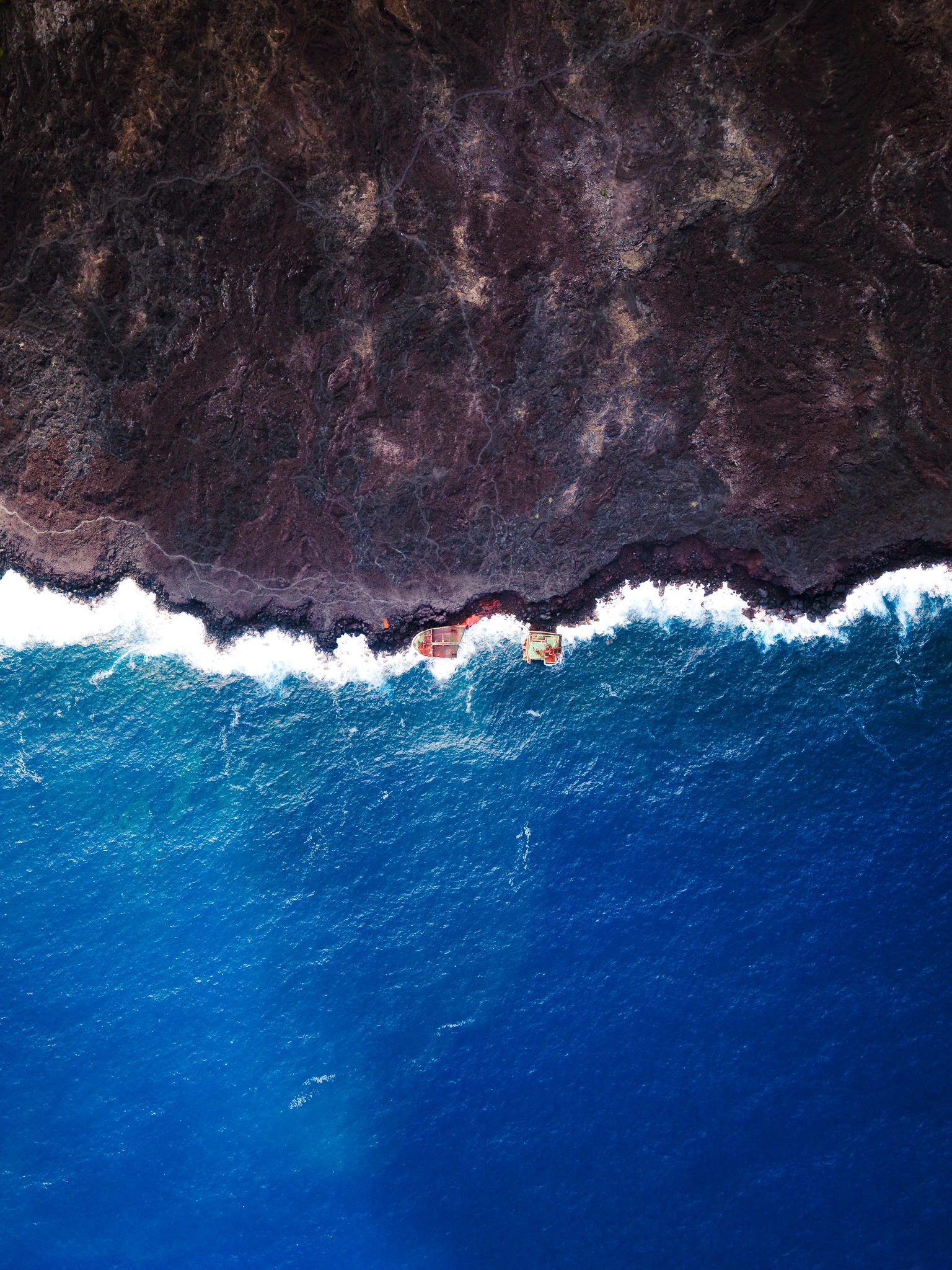
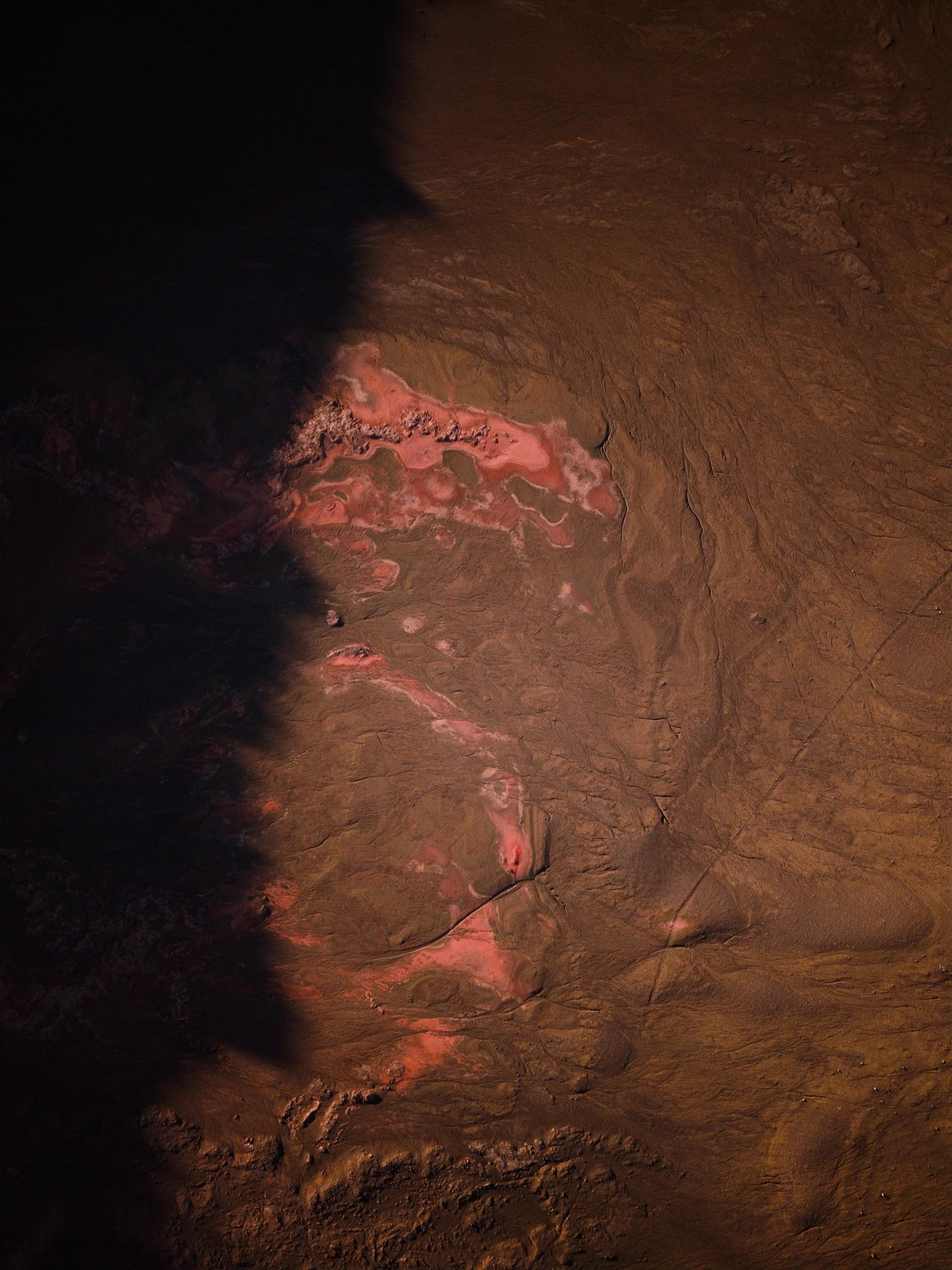
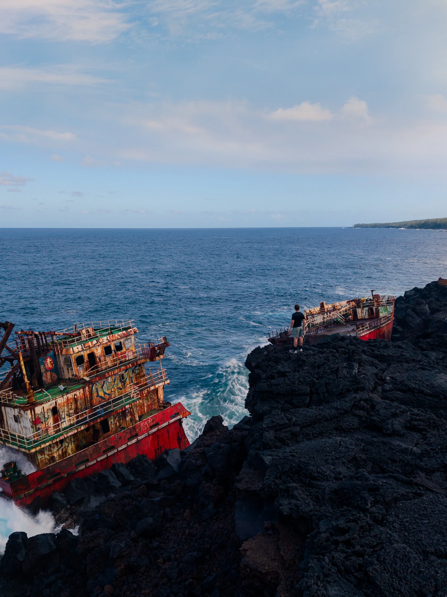
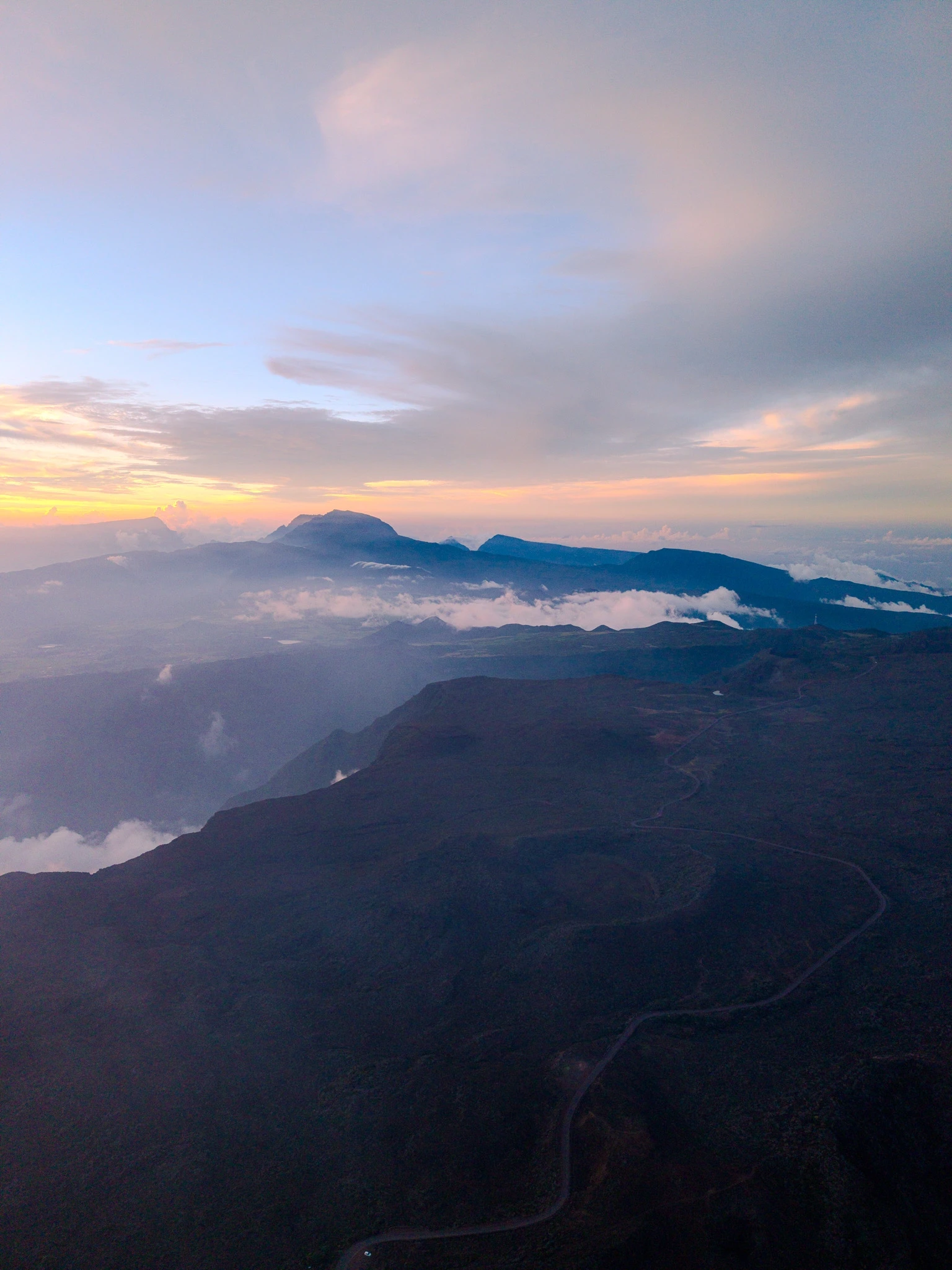
A raw perspective of Réunion Island’s extreme landscapes.
An exploration of Réunion Island’s topographies. Capturing raw scale through dynamic aerial cinematography.
(Concept)
Capturing the raw scale and geographic diversity of Réunion Island. The objective was to document the island's extreme topographies—from volcanic craters to sharp ridges—through a purely cinematic lens.
(Execution)
Dynamic aerial movements paired with natural color grading. The framing emphasizes the vastness of the landscapes, using precise drone piloting to create immersive, high-altitude perspectives.
(Deliverable)
Format
Aerial Short Film
Location
Réunion Island, Indian Ocean